
The Five Lakes (Fujigoko, 富士五湖), located in an arc around the north face of Mount Fuji, are truly a creation of the great volcano; lava flow in prehistory dammed up rivers to form the lakes. Only Lake Yamanaka (Yamanakako, 山中湖) is now drained naturally by a river, and flooding has been a historical problem for the lakes. At Lake Shōji (Shōji-ko, 精進湖), the smallest of the five, you can see the remains of lava flow sticking up out of the water.

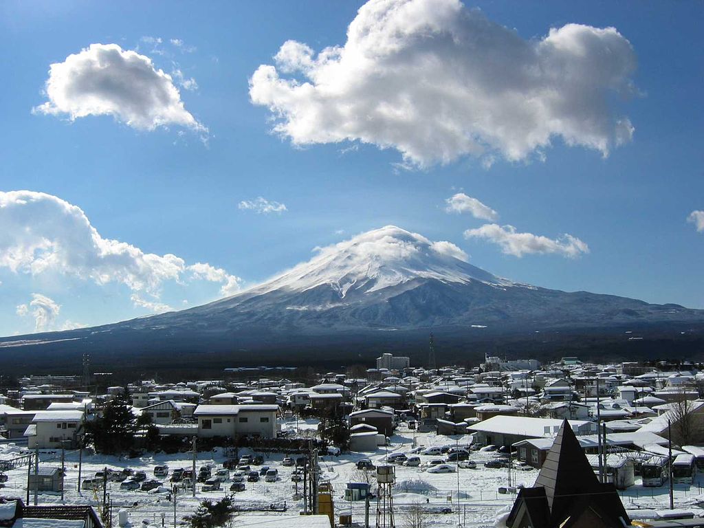
The Five Lakes of Mount Fuji are a big tourist attraction, with about nine million visitors every year. Tourists come to visit the numerous hot springs (onsen, 温泉) or simply to walk or hike in the area. There are also sailing, windsurfing, waterskiing, and fishing opportunities on the lakes themselves. There are also hugely popular fireworks festivals held in early August.
Lake Kawaguchi (Kawaguchiko, 河口湖) is regarded as the most famous of the five, and many tourists stay at one of its many hotels as a base for visiting Mount Fuji. Kawaguchiko is the only one of the five lakes that has its own island and there are a number of cultural events carried out at the lake during the year. These include the Mount Fuji Marathon that goes around both Kawaguchiko and Lake Sai (Saiko, 西湖). Kawaguchiko is good for running (if you like running long distances) because it has the longest shoreline of the Five Lakes. The Mount Kachi-kachi Ropeway at Tenjō-Yama Park (天上山公園カチカチ山ロープウェイ) offers a view of the lake, Aokigahara Forest, and Mount Fuji, as well as providing a way down to the lake for people climbing Mount Mitsutōge. The ropeway was opened in 1959.

Yamanakako is the largest of the lakes in terms of surface, with a surface area of about six and a half square kilometers. It is also the highest at about 980 meters and the shallowest, with an average depth of only just over 13 meters.

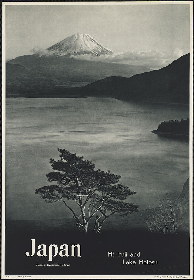
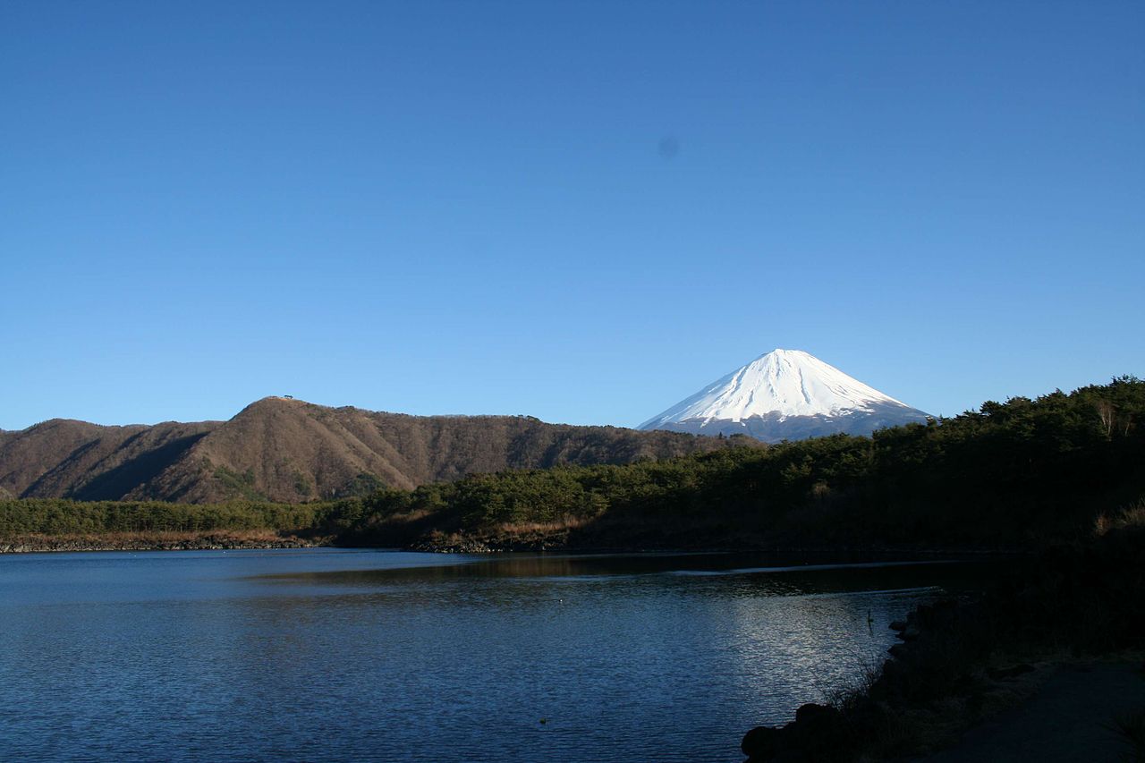
Motosuko is the third largest of the lakes, with a surface area of about 4.7 square kilometers. It is the deepest of the five lakes, with a maximum depth of around 120 meters. It is, in fact, the ninth deepest lake in Japan and views of the lake have featured on ¥5,000 and ¥1,000 banknotes, for obvious reasons.

Saiko, Motosuko, and Shojiko were originally one huge and dominant lake. Apparently, the Great Goddess didn’t like having a dominant lake and decided to split them up with gigantic lava flows in the ninth century! All three lie at 900 meters in height — unsurprisingly — as they were once a single lake, and it is claimed that they are still connected by underground waterways.
Featured image:
http://commons.wikimedia.org/wiki/File:Hokusai_landscape_with_two_falconers.jpg